Lesson 1
What is a topographic map?
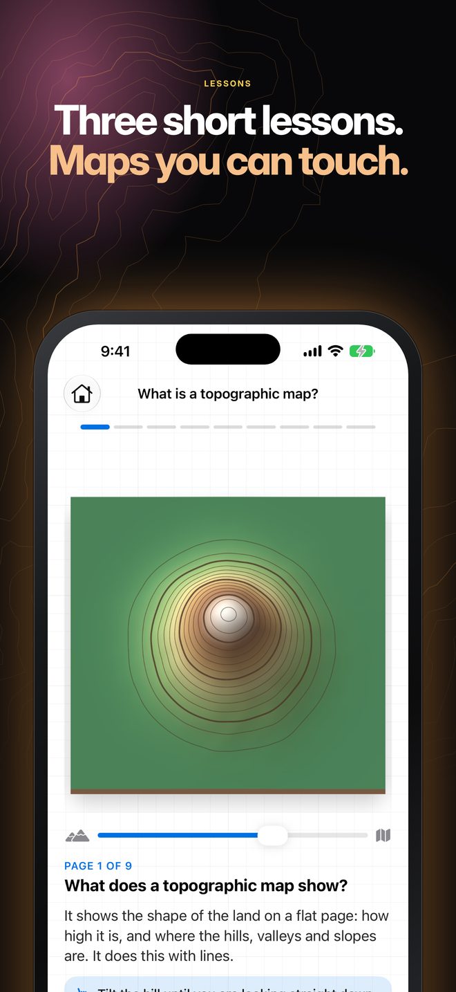
Tilt a hill until it becomes its own map. Slice it and see a contour line appear.
 Topos
Topographic maps in 3D
Topos lets students build hills and valleys in 3D and watch the contour map redraw under their fingers. Three short lessons teach how to read one.
 For iPad and iPhone · Mac coming soon
Every contour line joins points at the same height.
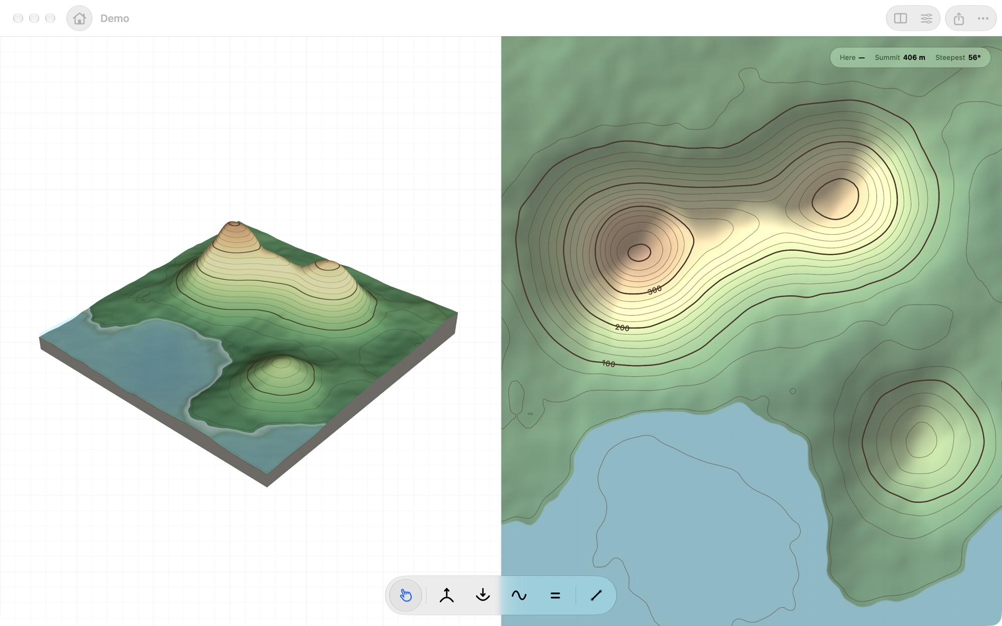
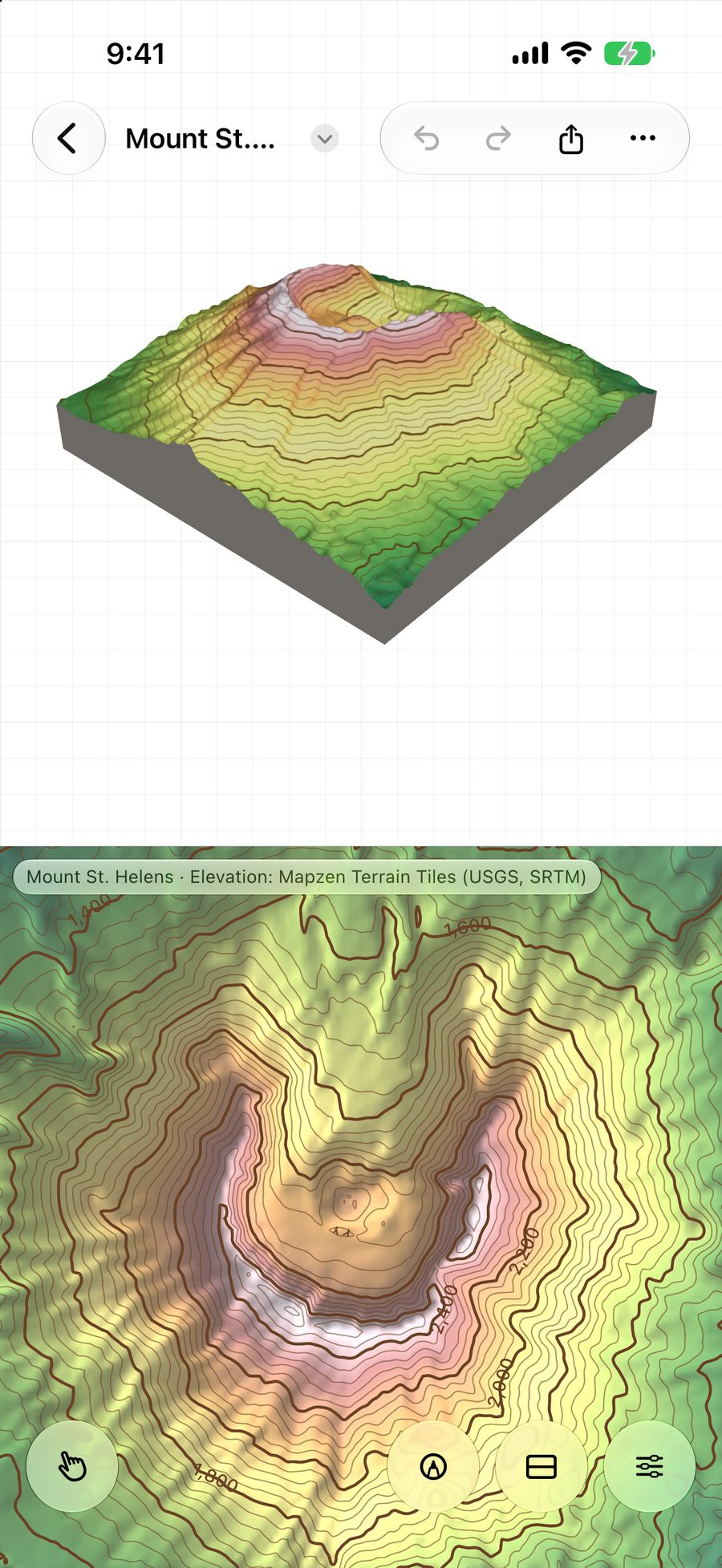
Mac, iPad and iPhone: one app, the same maps
On the App Store
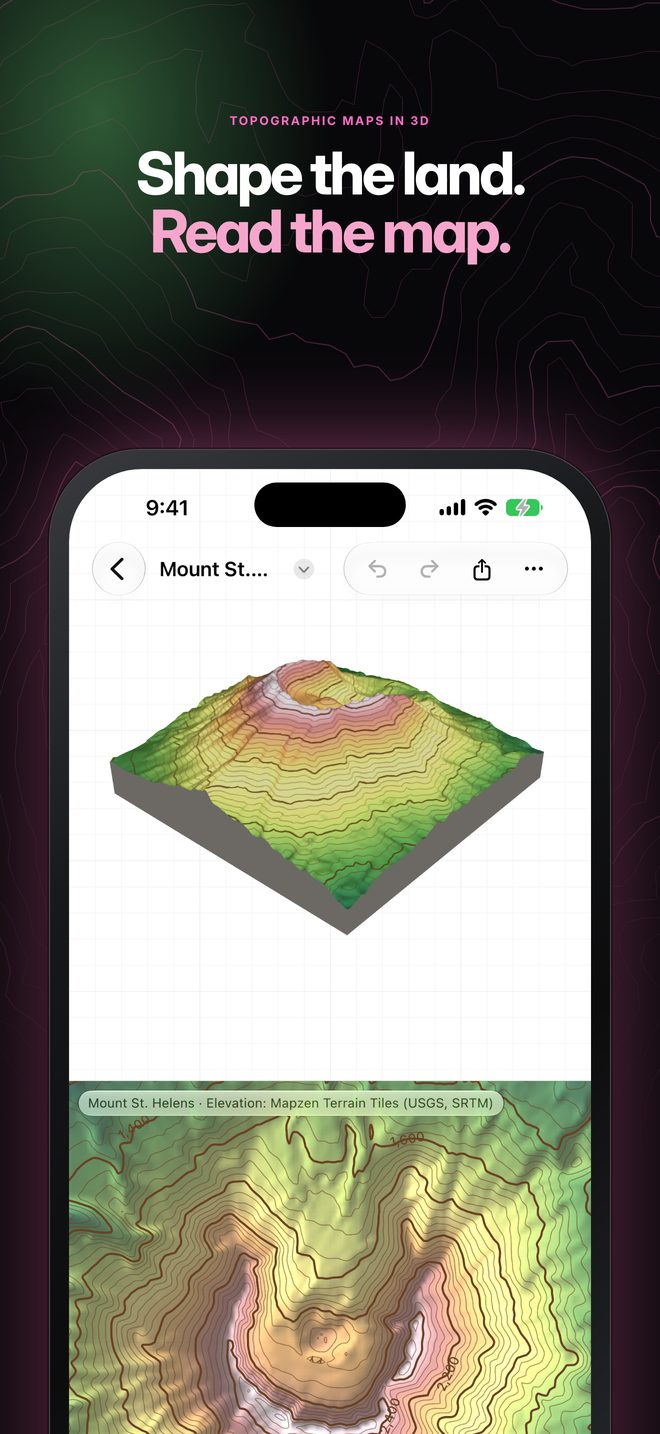
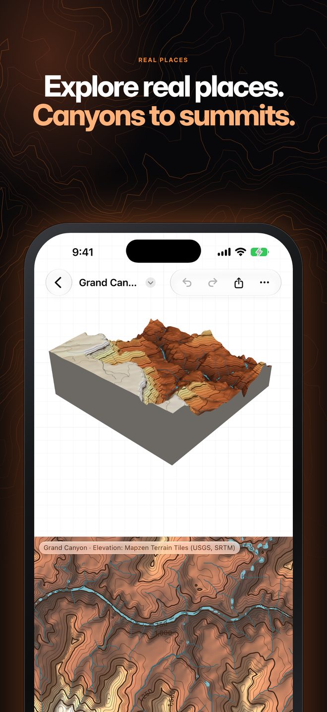
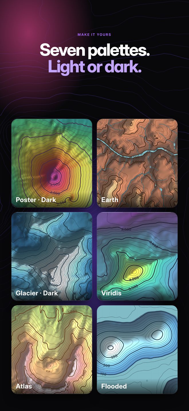
Every map can look different: canyon country in earth tones, Everest in glacier blues, a volcano in poster colours, in light or dark.
 Swipe for more · iPad and iPhone
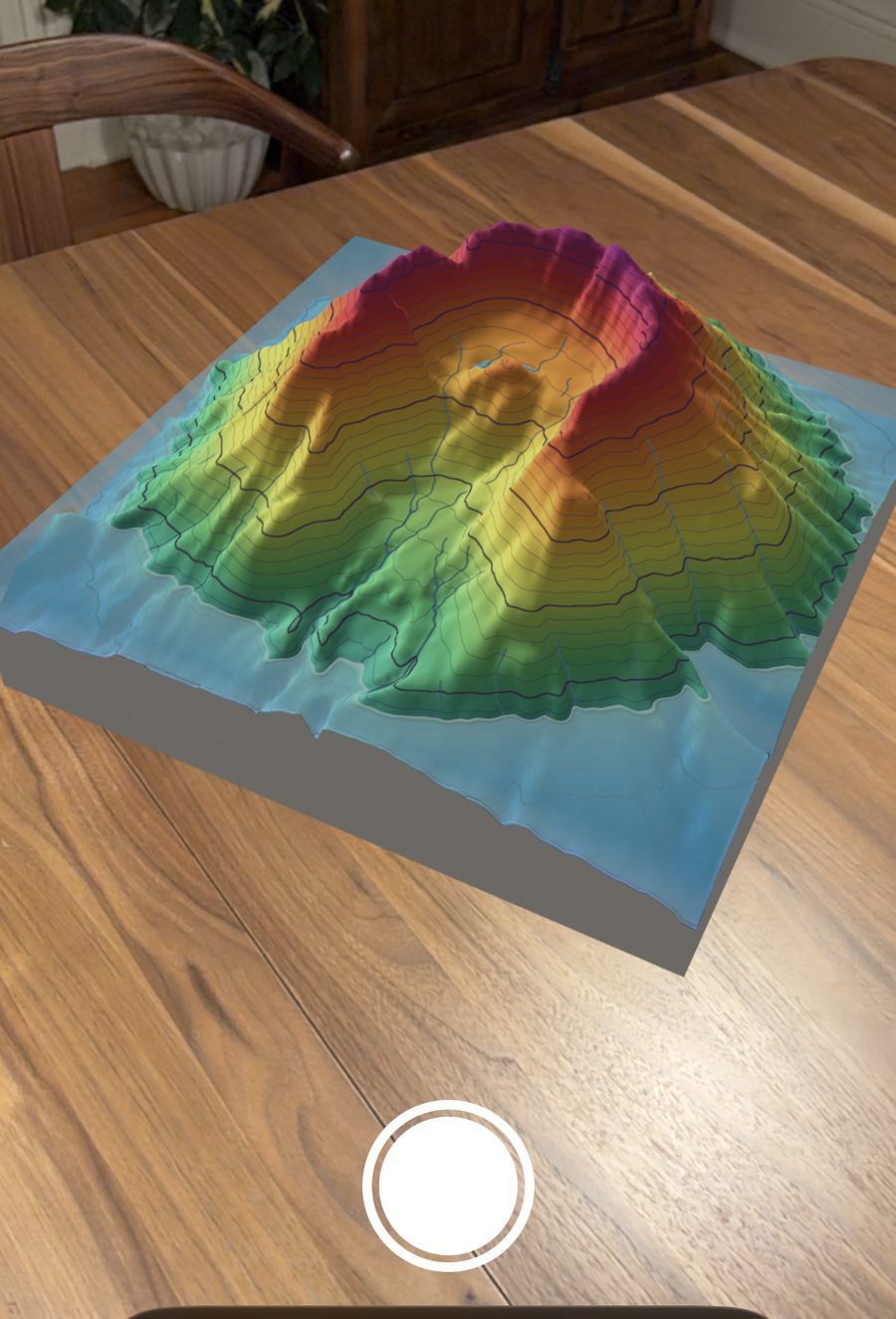
Augmented reality
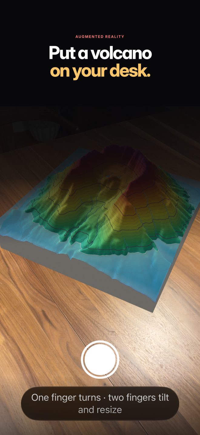
Place any map on a real table, walk around it, and look into the crater. One finger turns it; two fingers tilt and resize it.
Topo Lab
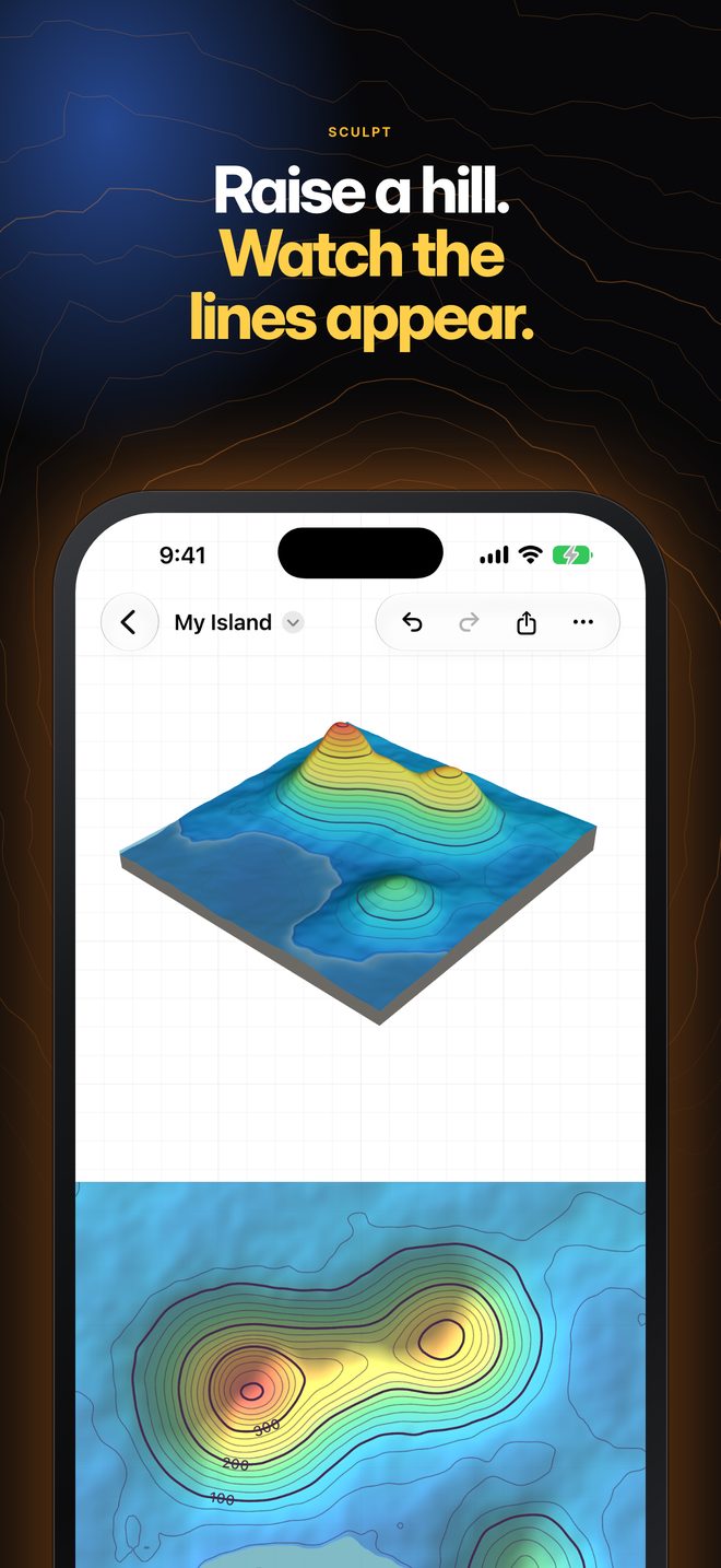
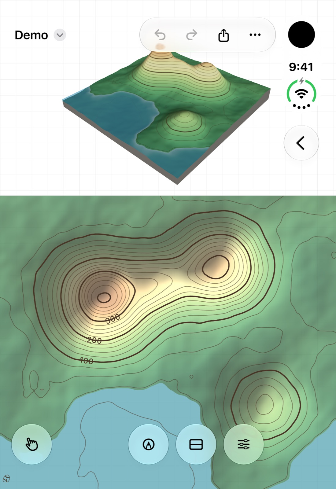
Push up a hill on the model and its contour lines appear on the map as you go. Students see what the lines mean because they made them.
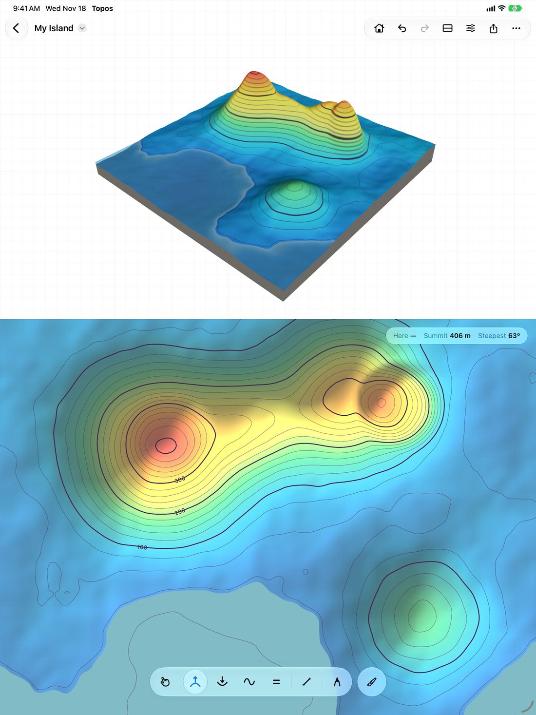
Sculpt
Drag on the model or straight on the map. Contours, heights and the steepest slope update as the land moves.
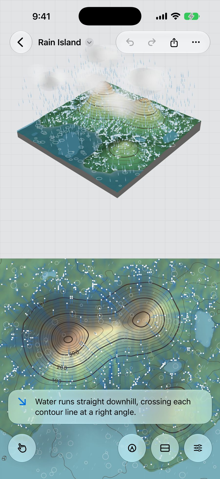
Water
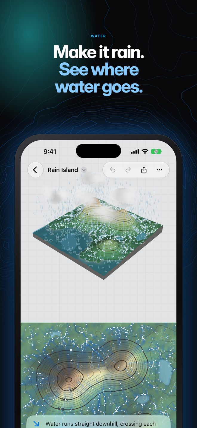
Raise the water level and lakes fill up to a contour line. Start a storm and streams run down the valleys. Tap anywhere to follow one raindrop downhill.
Cross-sections
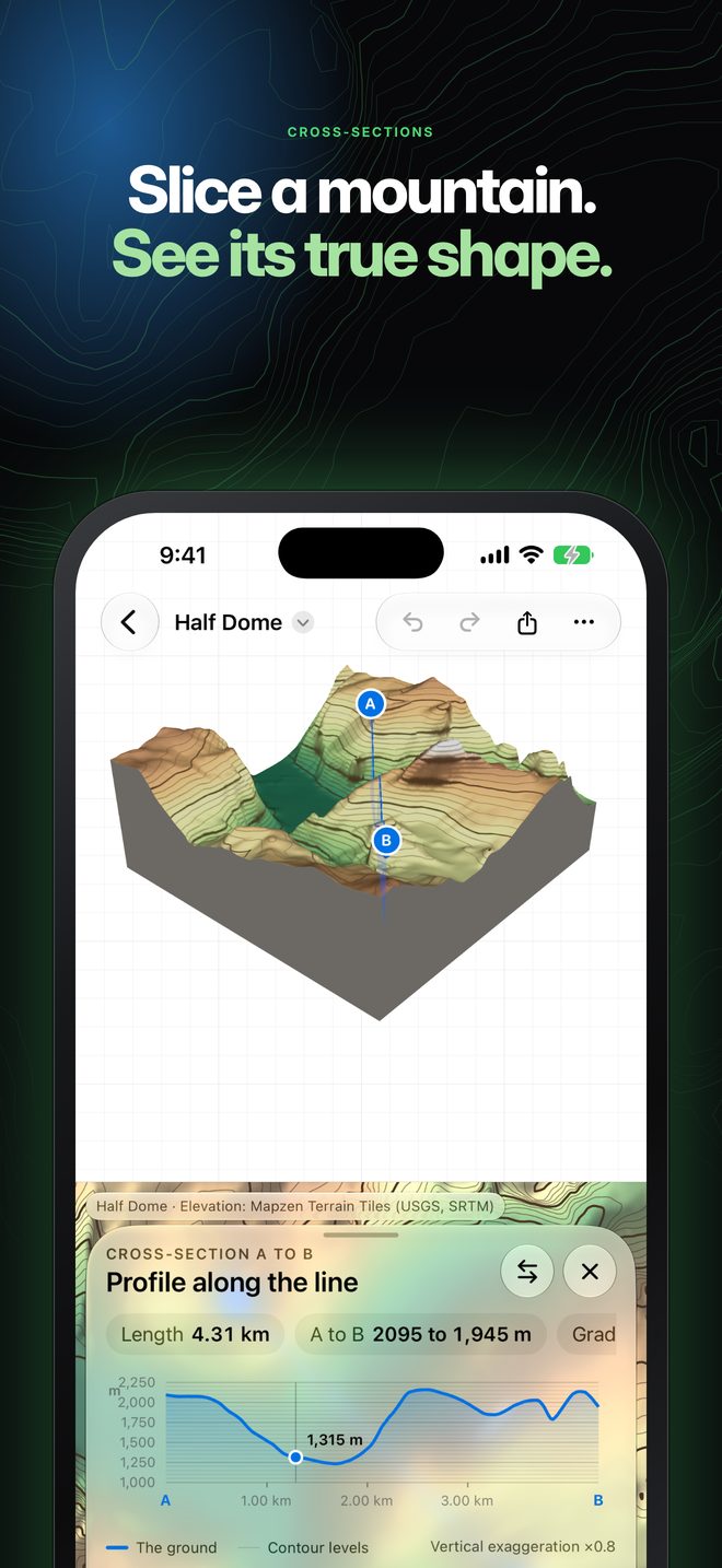
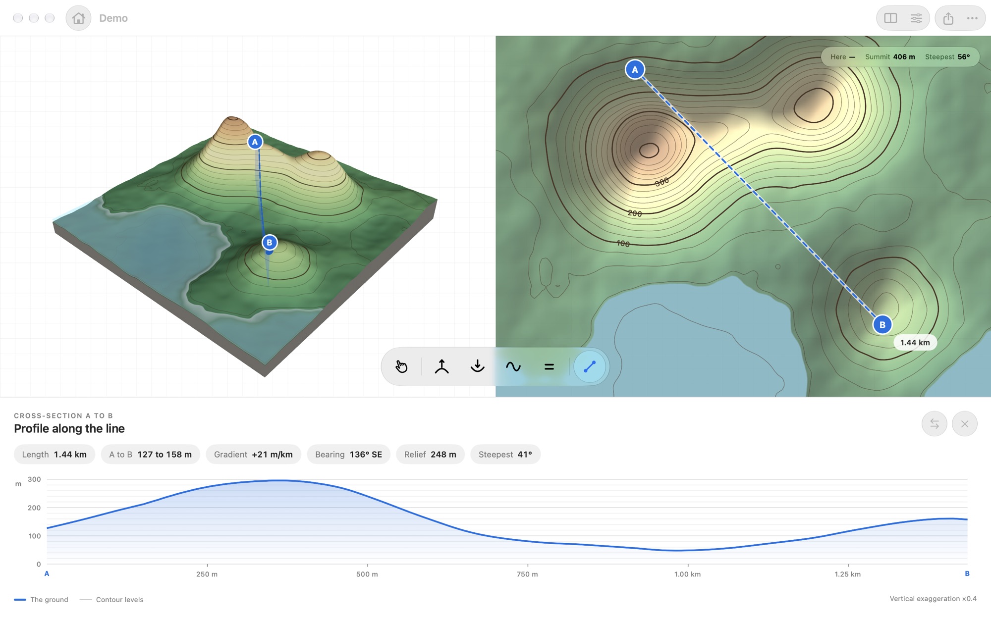
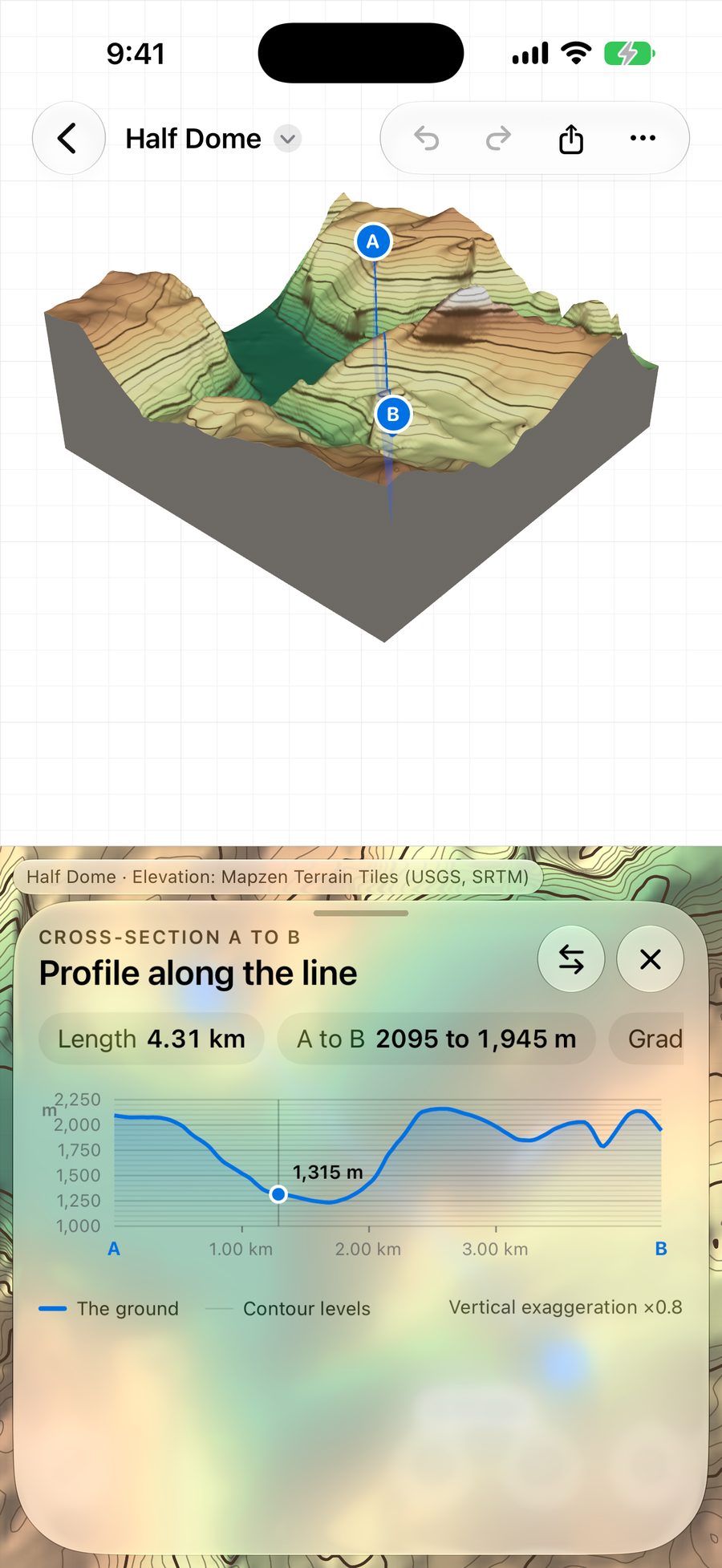
The Profile tool cuts a cross-section from A to B and measures it. It is the exercise students do on paper, drawn for them as they move the line.
Start anywhere
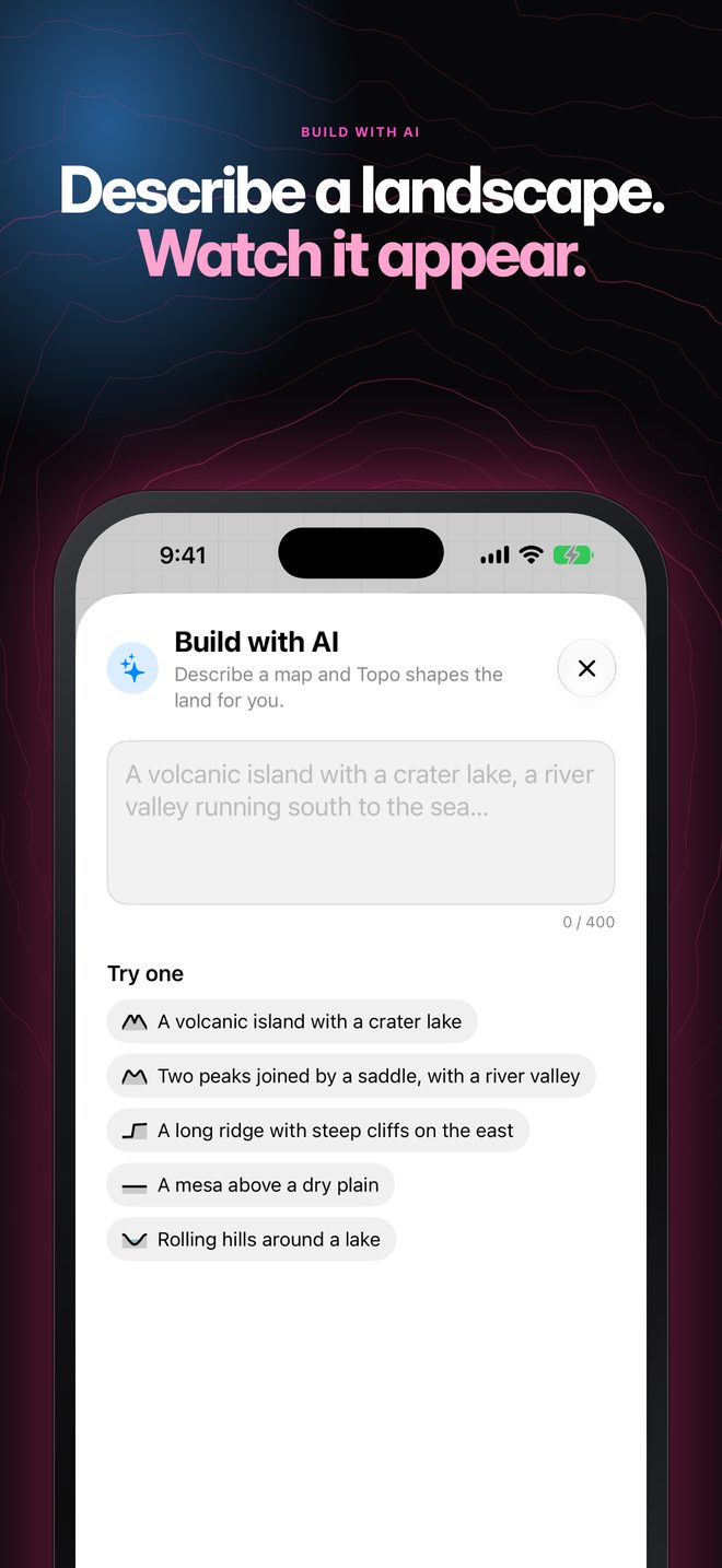
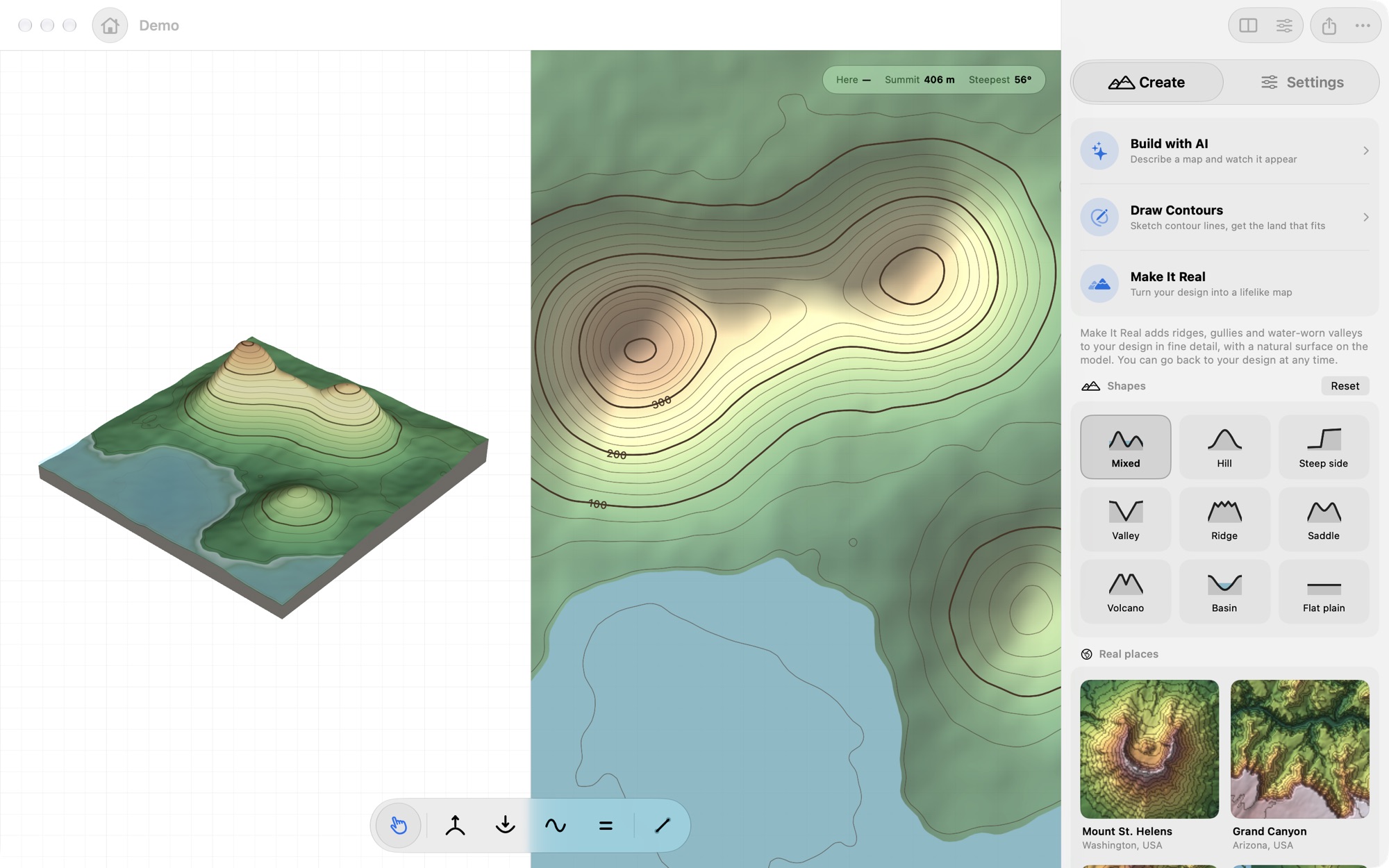
Pick one of nine landforms, search for a real place and load its elevation, or draw your own contour lines. With Build with AI you describe the land you want and the app makes it.
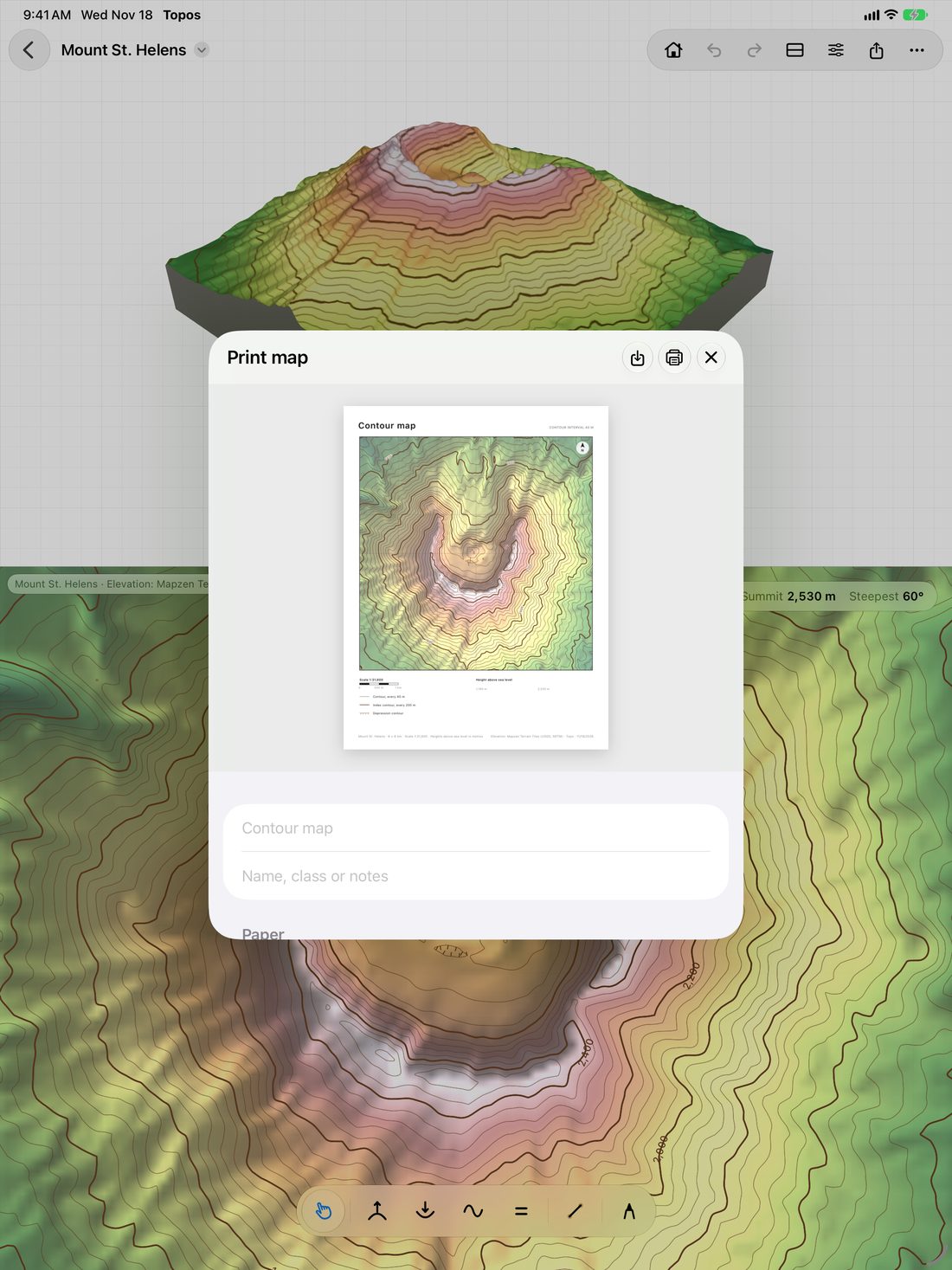
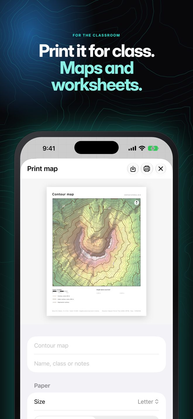
Print the map a student made, or a worksheet built from it with questions, a blank profile grid, and name and date lines.
iPhone Duo
Topos runs on iPhone Duo. Its wide cover screen has room for the model and the map together.
Place the land in the room with AR on iPad and iPhone, and walk around it.
A full-screen mode for the front of the class, with the tools one tap away.
Save a map image, a 3D-print file, or an AR model to open in other apps.
Map style
Colour the land by height in any of seven palettes, or switch the colour off and keep only the lines. Hillshade adds a soft light from the north-west; turn it off for a flat, classic map.
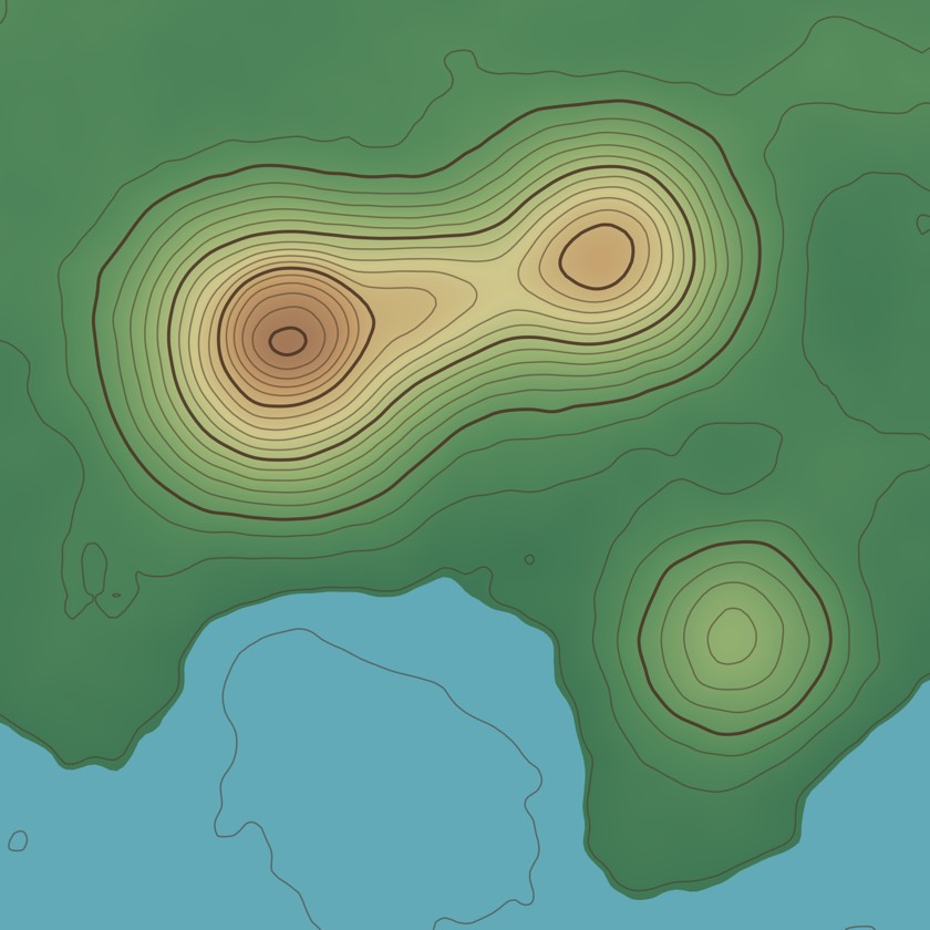
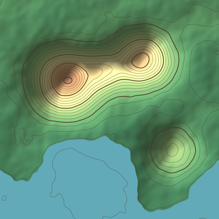 Hillshade onHillshade off
Learn
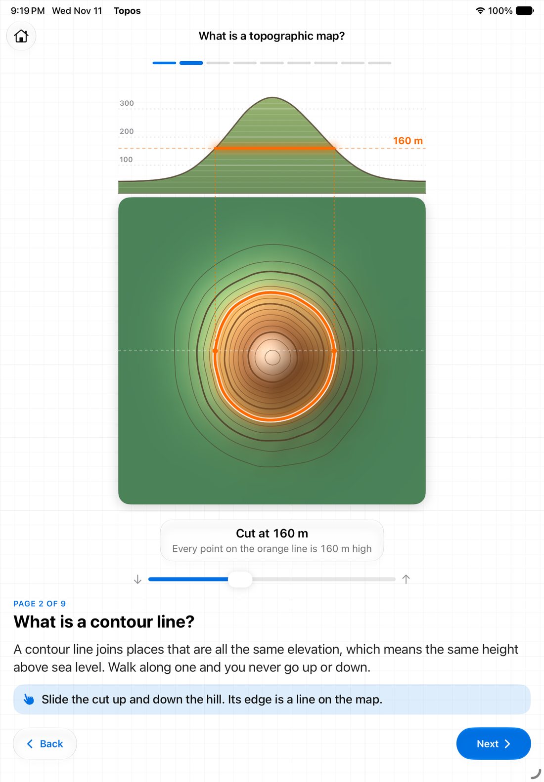
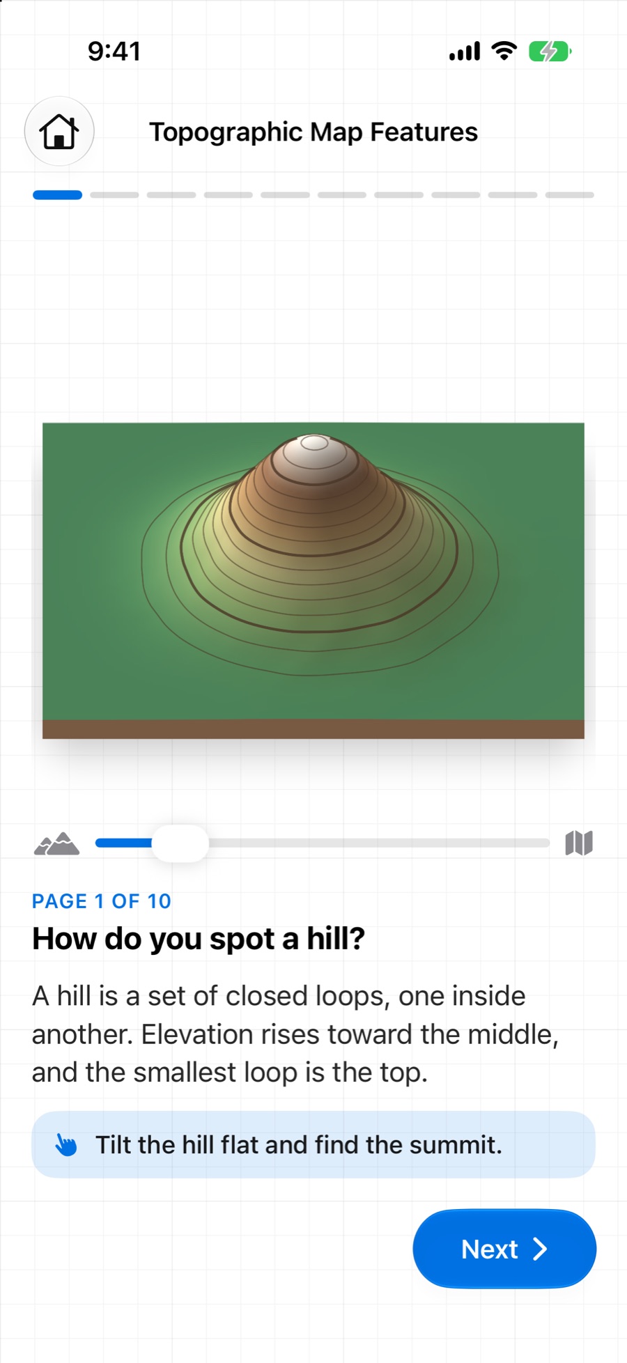
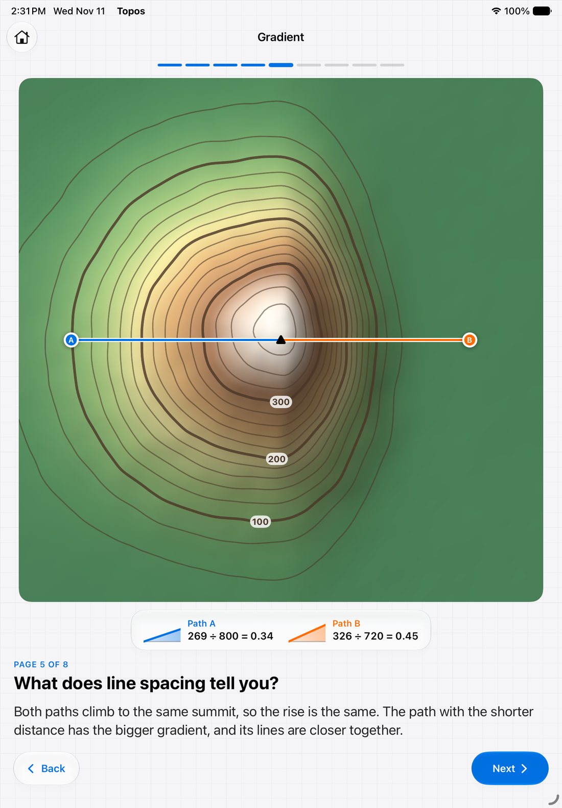
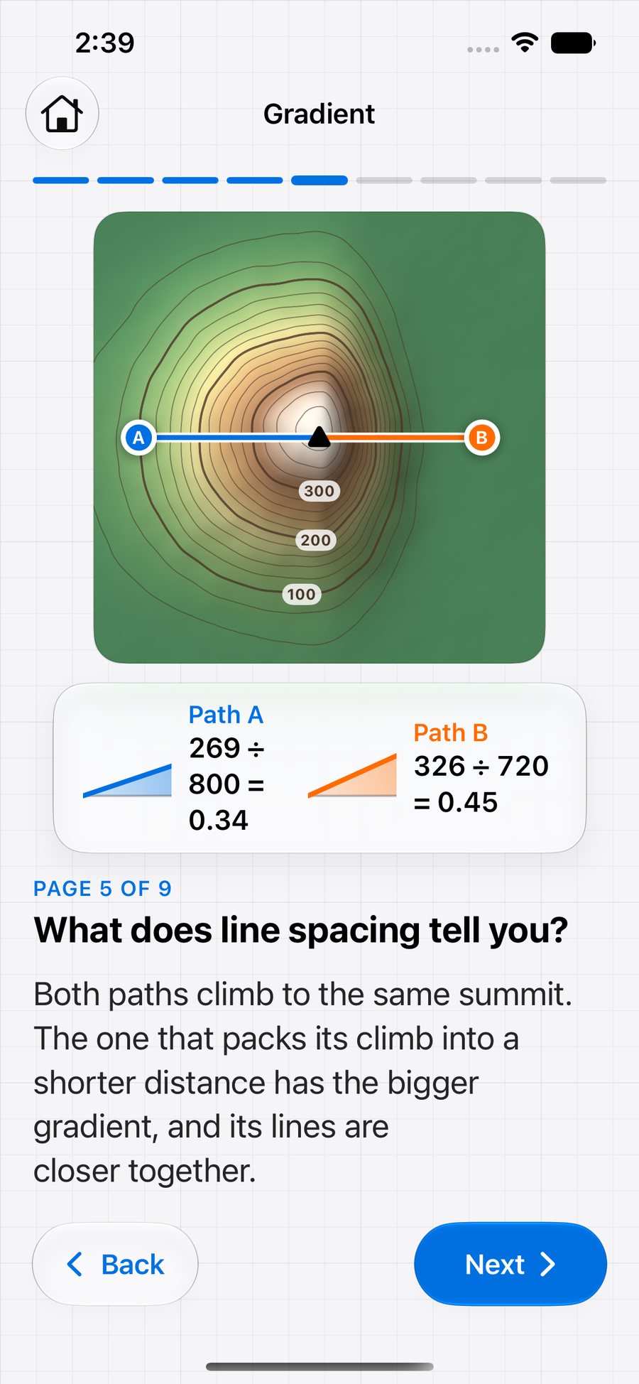
Each page asks one question and answers it with a picture students can move. Every lesson ends with a map to try.
Lesson 1
Tilt a hill until it becomes its own map. Slice it and see a contour line appear.
Lesson 2
Read slopes, valleys, streams and ridges, and find which way the water runs.
Lesson 3
Measure rise over run on a slope, then from the lines on a map.
For classrooms
Made for the topographic maps unit in Earth science.
Open the app and start. There is no sign-in, for students or teachers.
Topos collects no data. Nothing a student makes leaves the device unless they share it.
Every map saves itself as a file in Files, ready to hand in, share or open on another device.
Lessons and the lab need no connection. Only loading a real place uses the internet.
iPad · iPhone · Mac